|
||||
| ქართული ვერსია |
|
|||
|
|
Conversion of Cadastral Data of Gardabani Rayon into the Unified Geo Database
Status:Ongoing Full Activity Title: Processing of cadastral and alphanumeric information for Gardabani Rayon and integration of converted data into unified geoinformation database of Location: Gardabani rayon, Activity Dates: January, 2008 - May, 2008 Source of Funding: World Bank Agriculture Development Projects’ Coordination Centre
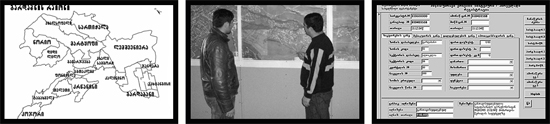
Flexible and consumer-friendly land registration and cadastre system should have a major impact in the economic development of the country. As of today National Agency of Public Registry (NAPR) carries out reorganization of registration offices throughout Some registration offices of Association for Protection of Landowners’ Rights carries out convesrion of graphical and alphanumeric data of Gardabani rayon into requested format and integrates them into unified database. The works are financed by the WB Agriculture Development Projects’ Coordination Centre. For the fulfillment of set goals APLR specialists make corrections to topologic base through processing of orthophotos and digital maps and if necessary carry out field surveys, establish database structure and methodology for data transfer. Based on this methodology graphical information on land parcels, buildings, motorways and railways are transformed from MapInfo program into ArcGIS software. Alphanumeric MS Access databases are also converted into requested format. Finally, all graphic and alphanumeric information are transferred into the unified geoinformation system. APLR specialists also study data movement at Gardabani registration office and develop recommendations and instructions for the advancement of flexible scheme, as well as for efficient procedure of cadastral information update. Respectively, appropriate trainings are provided for Gardabani public registry employees. The works envisioned by the project plays an important role in the debelopment of land cadastre and registration system of |
|||
|
APLR Head Office in Tbilisi Copyright © 2006, Association of Professionals on Land and Realty |
||||